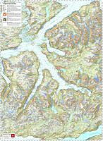
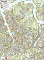
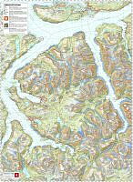
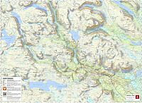
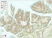
Lyngen skredterrengkart – avalanche terrain map
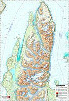
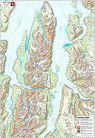
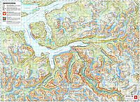
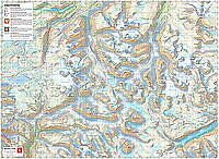
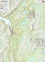
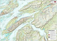
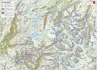
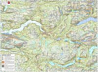
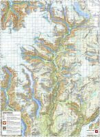
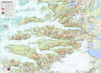
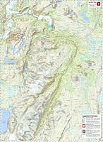
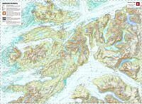
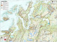
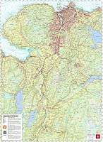
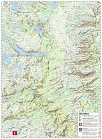
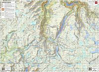
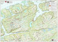
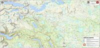
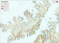
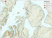
Avalanche terrain map for Lyngen. The map shows avalanche release and runout areas and has a QR code for the avalanche warning on Varsom.no. The map has English text and legend. Paper format: 96x140cm. Scale 1:50,000, UTM zone 33. Print quality 300 dpi. The 1:50,000 map base is produced by the Norwegian Mapping Authority. The avalanche release and runout areas are produced by NVE. The map product was created by NVE in 2026.
Snøskredterrengkart for Lyngen. Kartet viser løsne- og utløpsområder for snøskred og har QR-kode til snøskredvarselet på Varsom.no. Kartet har engelsk tekst og tegnforklaring. Papirformat: 96x140cm. Målestokk 1:50 000, UTM-sone 33. Trykkvalitet 300 dpi. 1:50 000-kartgrunnlag er fra Kartverket. Løsne- og utløpsområder er produsert av NVE. Kartet er laget av NVE i 2026.